


Bringing the world’s art and culture online for everyone
Google Arts & Culture is a non-commercial initiative. We work with cultural institutions and artists around the world. Together, our mission is to preserve and bring the world’s art and culture online so it’s accessible to anyone, anywhere.
-
Guggenheim Museum Bilbao, Spain


Experience art and culture in new ways
Discover our latest technologies and meet the people, visit the places and learn about the events that continue to shape our world.
Learn more
Partner with us
Our team helps partners digitize, manage and publish their collections online. Find out how to join, and who’s already working with us.
Learn moreOur latest news
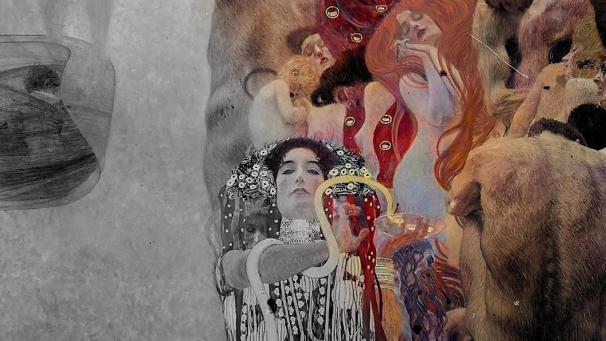
Klimt vs. Klimt - The Man of Contradictions
Explore more about the artist Gustav Klimt's eclectic work and life, and how machine learning revived some of his long lost masterpieces.
Learn more