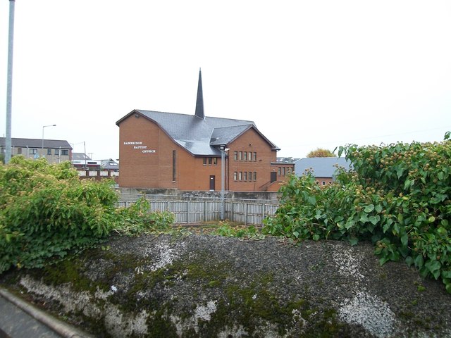
J1245 : The Banbridge Baptist Church, Kenlis Street, Banbridge
taken 11 years ago, near to Banbridge, Co Down, Northern Ireland
![Creative Commons Licence [Some Rights Reserved]](https://s1.geograph.org.uk/img/somerights20.gif)
|
· Find out How to reuse this image ·
Share:
|
|||||
|
There are 2 posts in a
discussion on J1245 (preview on the left) |
Suggest an update to this image | Contact the contributor | |||
Loading map... (JavaScript required)
- Grid Square
- J1245, 193 images (more nearby
 )
)
- Photographer
- Eric Jones (find more nearby)
- Date Taken
- Wednesday, 6 November, 2013 (more nearby)
- Submitted
- Monday, 20 January, 2014
- Geographical Context
- Subject Location
-
Irish:
 J 124 455 [100m precision]
WGS84: 54:20.7538N 6:16.2743W - Camera Location
-
Irish: J 124 454
- View Direction
- East-northeast (about 67 degrees)
Image classification(about):
Geograph
This page has been viewed about 32 times.
View this location:
KML (Google Earth) ·
Google Maps ·
Bing Maps ·
Geograph Coverage Map ·
More Links for this image
·
Bing Maps ·
Geograph Coverage Map ·
More Links for this image