O0676 : Waterunder Cottage, Mell, Drogheda
taken 19 years ago, near to Tullyallen, Co Louth, Ireland
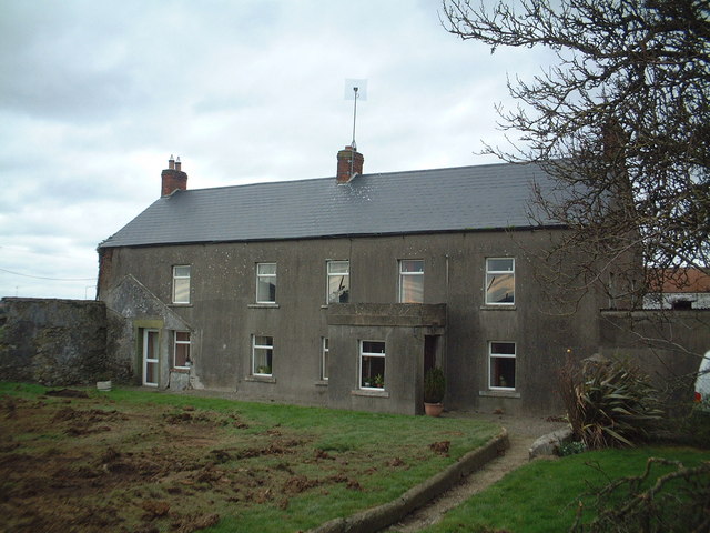
Waterunder Cottage, Mell, Drogheda
Farmhouse shown on 1835 O.S. 1st edition six-inch map. Modernised in recent years. Following sale of the land for development, the house and outbuildings demolished 2005. Now site of M1 Retail Park.
![Creative Commons Licence [Some Rights Reserved]](https://s1.geograph.org.uk/img/somerights20.gif)
|
· Find out How to reuse this image ·
Share:
|
|||||
| Start a discussion on O0676 | Suggest an update to this image | Contact the contributor | |||
Loading map... (JavaScript required)
- Grid Square
- O0676 (more nearby
 )
)
- Photographer
- Kieran Campbell (find more nearby)
- Date Taken
- Friday, 4 February, 2005 (more nearby)
- Submitted
- Saturday, 8 September, 2007
- Category
- Farmhouse (more nearby)
- Subject Location
-
Irish:
 O 0648 7654 [10m precision]
WGS84: 53:43.6684N 6:23.2481W - Camera Location
-
Irish: O 0648 7653
- View Direction
- Northwest (about 315 degrees)
This page has been viewed about 336 times.
View this location:
KML (Google Earth) ·
Google Maps ·
Bing Maps ·
Geograph Coverage Map ·
More Links for this image
·
Bing Maps ·
Geograph Coverage Map ·
More Links for this image