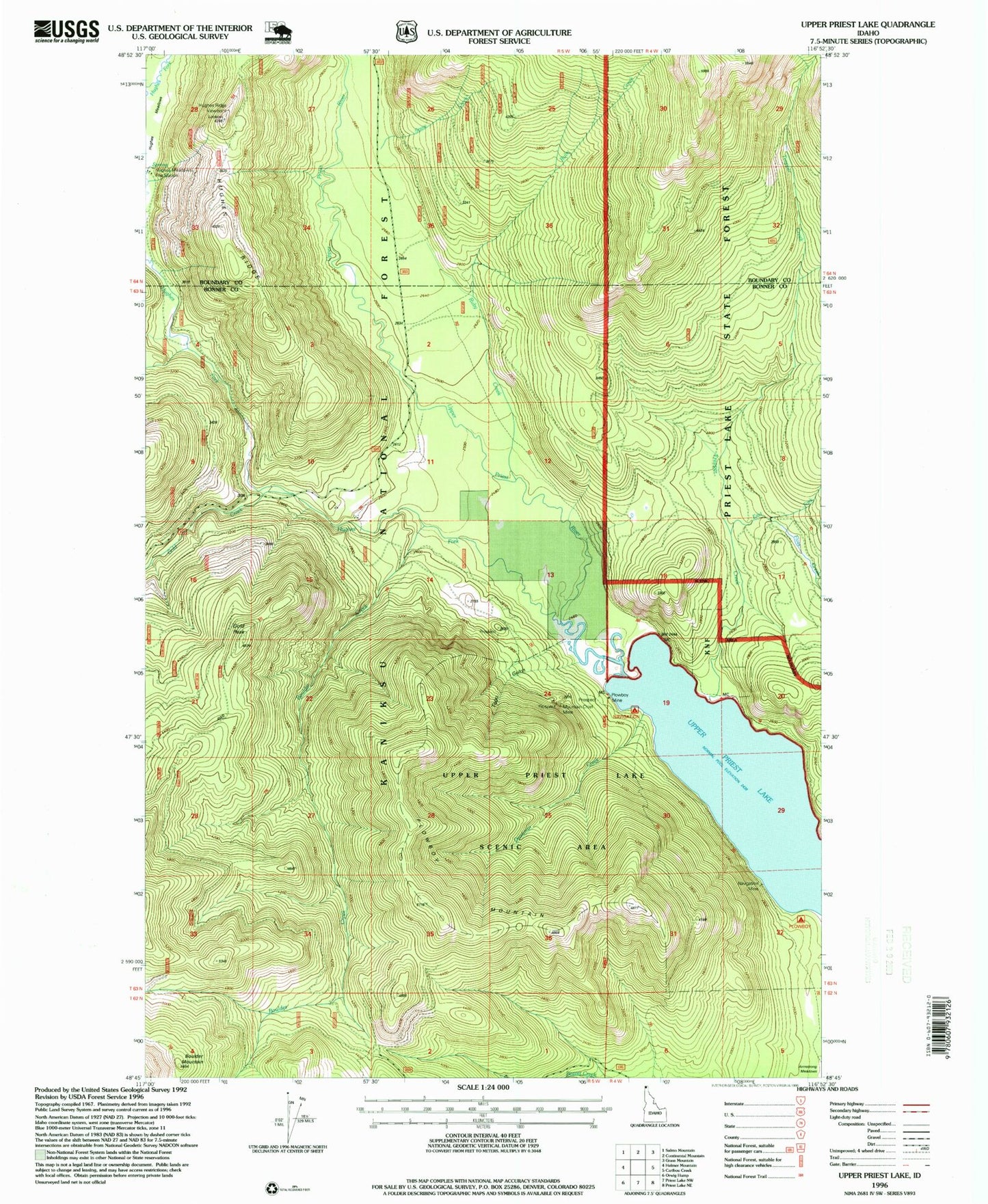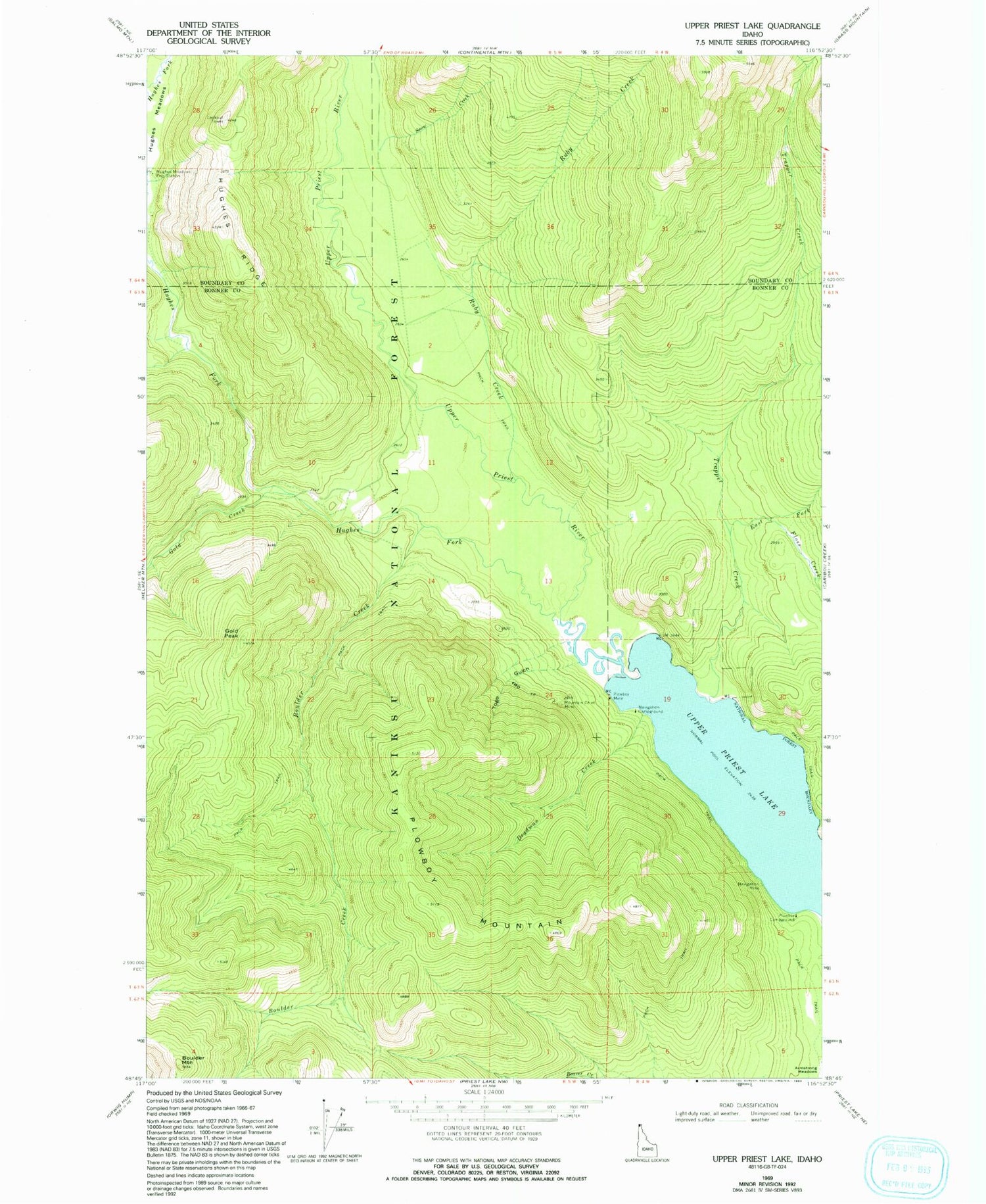
MyTopo
Classic USGS Upper Priest Lake Idaho 7.5'x7.5' Topo Map
Couldn't load pickup availability
Historical USGS topographic quad map of Upper Priest Lake in the state of Idaho. Typical map scale is 1:24,000, but may vary for certain years, if available. Print size: 24" x 27"
This quadrangle is in the following counties: Bonner, Boundary.
The map contains contour lines, roads, rivers, towns, and lakes. Printed on high-quality waterproof paper with UV fade-resistant inks, and shipped rolled.
Contains the following named places: Deadman Creek, Mountain Chief Mine, Navigation Campground, Navigation Mine, Plowboy Mine, Snow Creek, Togo Gulch, Boulder Creek, East Fork Trapper Creek, Floss Creek, Gold Creek, Hughes Fork, Hughes Ridge, Plowboy Campground, Ruby Creek, Trapper Creek, Upper Priest Lake, Upper Priest River, Upper Priest Lake Scenic Area, Hughes Ridge Viewpoint, Boulder Mountain, Gold Peak, Plowboy Mountain